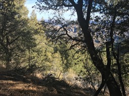
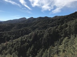
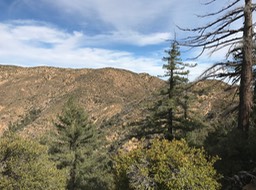
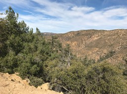
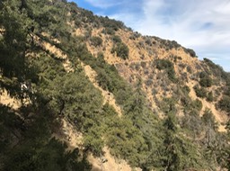
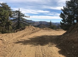
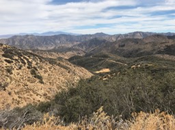
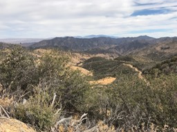
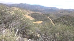
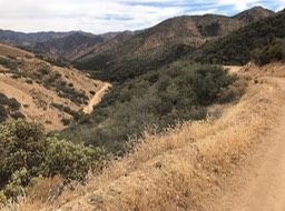
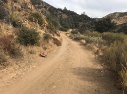
Day 2 began with the decision not to spend another night on the mountain. We could return back down the Madcule trail, or take the service road out. I voted to take the service road. The Madcule trail was 2 miles shorter, but I was concerned about keeping my balance going down the Heart Break Ridge section. I foolishly thought the service road was basically all down hill after we climbed back to the ridgeline. I was wrong…
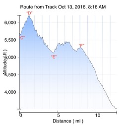
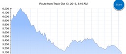
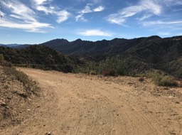
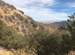
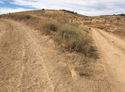
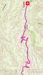
The first photo below is the day two elevation profile. We obviously had to climb back to the ridgeline “C” to “D” whatever choice we made. I knew it was down hill from the ridgeline “D” to Chokecherry Springs “E”. I knew the Springs and the intersection with Serra Madre road “F” was basically the same altitude, so I assumed it was flat. Wrong assumption!! Photo 2 is an expanded view of the profile. All those jagged saw tooth lines are sharp up and down sections. Just when I thought there could not possibly be another “up” section; there would be another “up” section.
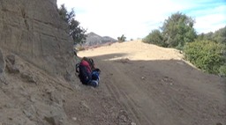
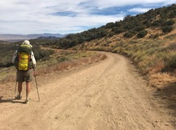
I also found out that a heavy backpack puts more strain on the muscles when going up than down. However, the impact on the bottom of the feet is just as bad going down as up.