Jerry Pilson
Site Navigation
[Skip]
Home
Photo Album
Photo Album
West Camino Cielo pictures
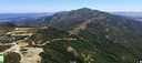
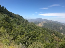
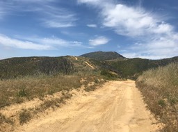
West Camino Cielo follows the ridgeline above Santa Barbara
StartStatting at the Gun Range the beat up dirt road goes north
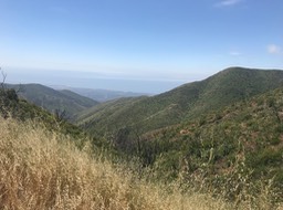
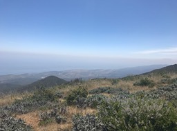
The Pacific is on the left...
Lake Cachuma is on the right (Photos from Google)
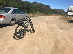
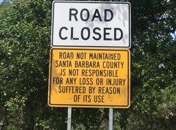
Park at end of paved road near Gun Range
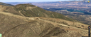
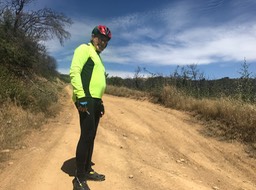
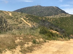
The path to the top goes down for a bit, and then straight UP!
Your are warned
Can see the path far ahead leading to top
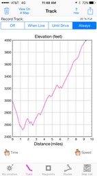
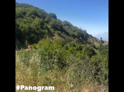
Movie: Start
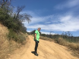
It was cool in the morning, but it didn’t take long...
for the heat to require short sleeve shirt
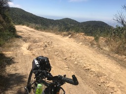
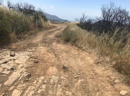
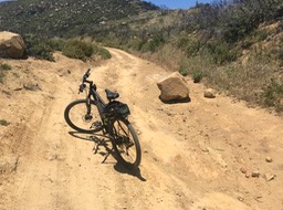
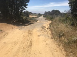
The road was in bad shape
Really bad shape
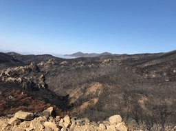
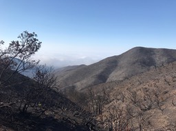
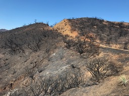
In 2017 this area was burnt to a crisp by a wild fire
This is what it looked like in 2017
2017
There was nothing growing anywhere
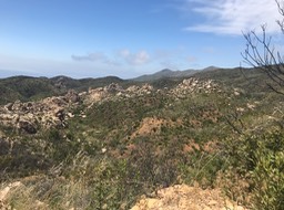
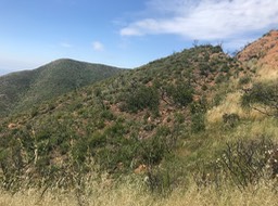
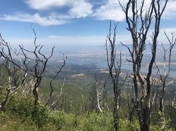
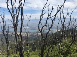
In 2 years the area is making a good comeback
Lots of green coming back
Lake Cachuma damn
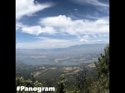
Movie; of lake Cachuma
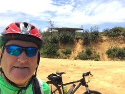
The was an old water tank behind me
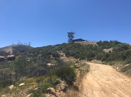
Path to the top
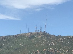
Lots of communications stuff on top
Microwave and cell stuff
Glad I wasn’t there when this rock came down
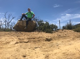
Had lunch on this rock
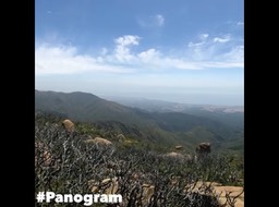
MOVIE: Looking back toward Santa Barbara & then toward the top
New added stuff near top
Top
Finally, the down hill portion which is paved, where I can go very fast
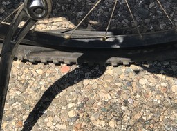
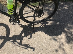
Going fast and hit a really really bad pothole which pinched my rear tire
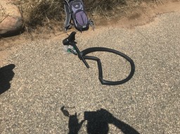
Quickly inserted my spare tube
Back to flying down the hill, gotta get to beach
…until my spare tube failed big time, no 2nd spare, so Dave had to drive 10 miles to pick me up
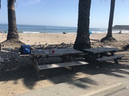
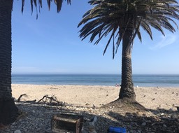
Finally made it to the beach for burgers & beer
Life is good
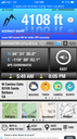
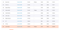
Strava is an app that tracks other people that rode the same route as you. There are always hundreds of people that are faster than me
However, if I sort by age,(70-74) the list gets really short, like only me. Click HERE to return to INDEX
© Jerry Pilson 2018
[Back To Top]